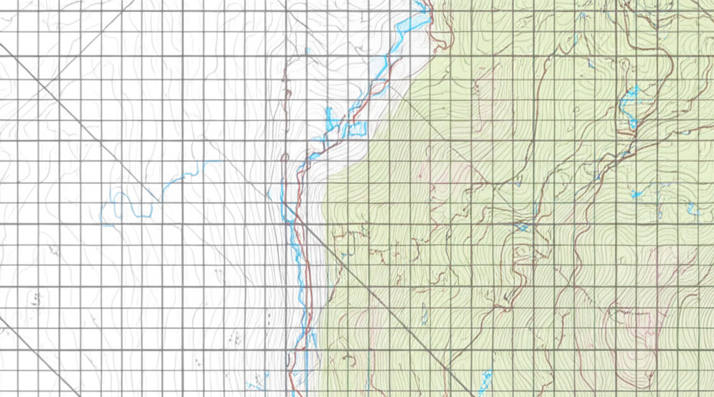
GEOSPATIAL INTELLIGENCE
Transform complex spatial data into actionable intelligence with AlphaSight's advanced geospatial platform, delivering precision insights across any terrain or environment.
Beyond Visualization
AlphaSight's geospatial intelligence platform goes beyond simple visualization, transforming raw spatial data into actionable insights through advanced AI processing, automated tagging, and secure data architecture.
Our platform integrates seamlessly with existing systems and data sources, providing a unified view of your operational environment while maintaining the highest standards of data security and access control.
Multi-Modal Data View with AI Processing
AlphaSight's platform ingests and processes multiple data modalities simultaneously, creating a comprehensive operational picture that combines visual, thermal, radar, signal, and other data types. Our advanced AI processing engines automatically extract insights from this multi-modal data, identifying patterns and anomalies that would be impossible to detect through manual analysis.
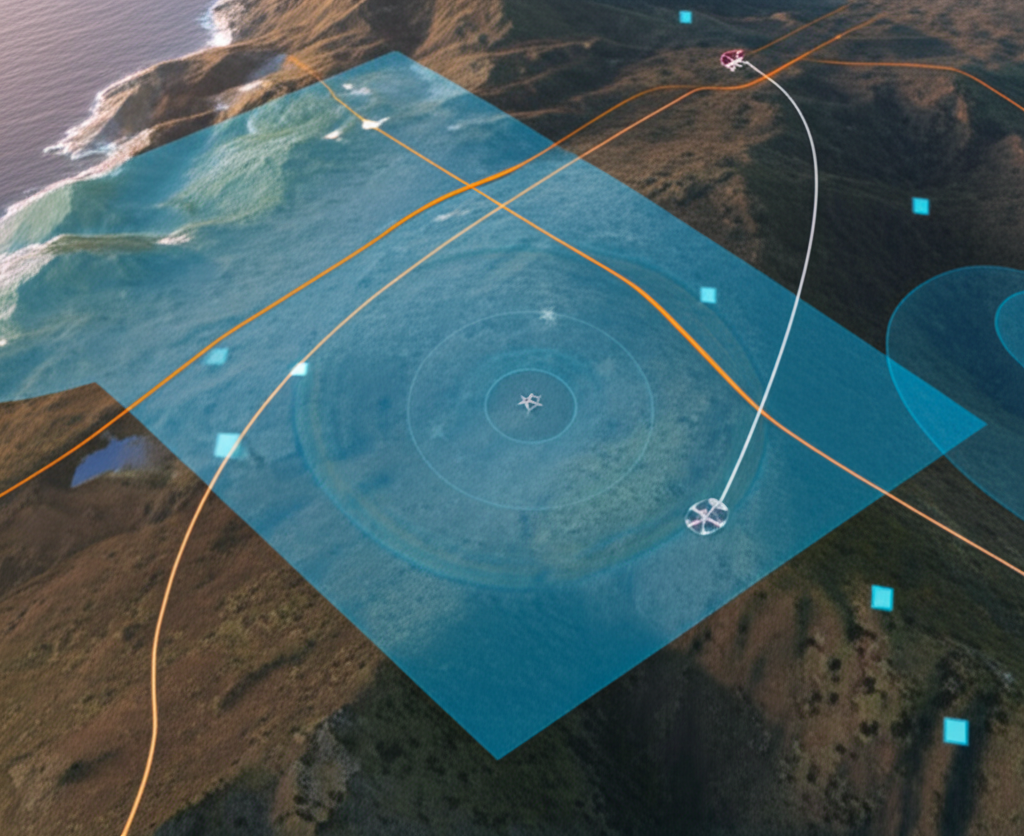
Fusion Engine
Our proprietary data fusion engine combines multiple data sources into a coherent operational picture, automatically aligning and synchronizing data across different modalities and time periods.
Adaptive Processing
AI-driven processing adapts to changing conditions and mission requirements, automatically adjusting detection parameters and analysis methods to maintain optimal performance.
Noise Reduction
Advanced filtering algorithms automatically remove noise and artifacts from sensor data, enhancing signal quality and improving detection accuracy in challenging environments.
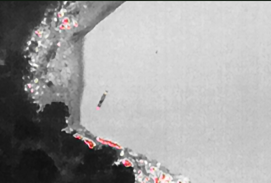
Visual
High-resolution imagery from satellites, aircraft, drones, and ground cameras
Thermal
Infrared and thermal imaging for day/night operations and heat signature detection
Radar
Synthetic Aperture Radar (SAR) and Ground Penetrating Radar (GPR) for all-weather sensing
Signals
RF, cellular, and other electromagnetic signals for comprehensive situational awareness

Findings Tagged and Marked
AlphaSight's intelligent tagging system automatically identifies, classifies, and marks objects, activities, and anomalies across all data sources. This automated process creates a searchable intelligence database that enables rapid retrieval and cross-referencing of critical information.
Intelligent Auto-Tagging
AI-driven object recognition and classification automatically tags entities across all data sources, maintaining consistent identification even as objects move between sensors.
Temporal Tracking
Objects and activities are tracked over time, creating comprehensive movement patterns and behavioral profiles that reveal deeper insights and operational patterns.
Chain of Custody
All tagged findings maintain complete metadata and chain of custody information, ensuring evidential integrity for legal and operational requirements.
Universal Data Strata
AlphaSight's Universal Data Strata architecture provides a secure, scalable foundation for geospatial intelligence operations. This advanced data storage and access system ensures that the right information reaches the right personnel at the right time, while maintaining the highest standards of security and compliance.
Multi-Tier Architecture
Our layered data architecture separates raw data, processed intelligence, and analytical products, enabling efficient storage and retrieval while maintaining complete data lineage and provenance.
- •Raw data preservation with immutable storage
- •Processed intelligence with full metadata
- •Analytical products with complete attribution
Granular Access Control
Our attribute-based access control system provides unprecedented granularity in managing data access, allowing precise control over who can view, edit, or share specific data elements based on multiple factors.
- •Role-based permissions with dynamic adjustment
- •Geographical and temporal access restrictions
- •Classification-aware data handling
Military-Grade Security
AlphaSight's platform implements the highest standards of data security, with end-to-end encryption, secure enclaves, and comprehensive audit logging to protect sensitive information at rest and in transit.
- •AES-256 encryption for all data at rest
- •TLS 1.3 with perfect forward secrecy
- •Comprehensive audit trails and tamper detection
Deployment Flexibility
AlphaSight's Universal Data Strata can be deployed in cloud, on-premises, or hybrid configurations, with full support for air-gapped environments and tactical edge deployments.
Seamless Synchronization
Intelligent data synchronization ensures consistency across distributed deployments, with conflict resolution and bandwidth-aware transfer protocols.

Real-World Impact
AlphaSight's geospatial intelligence platform has been deployed in some of the most challenging environments worldwide, delivering critical insights and operational advantages across multiple domains.
Critical Infrastructure Protection
Comprehensive monitoring of the Bakun Hydroelectric Dam resulted in 98% reduction in security incidents and 35% operational cost savings.

Maritime Security Operations
Multi-modal surveillance at Bintulu Port improved regulatory compliance to 98% while reducing security incident response time by 62%.
Transform Your Geospatial Operations
Experience the power of AlphaSight's geospatial intelligence platform with a personalized demonstration tailored to your specific operational requirements.
Request Demonstration